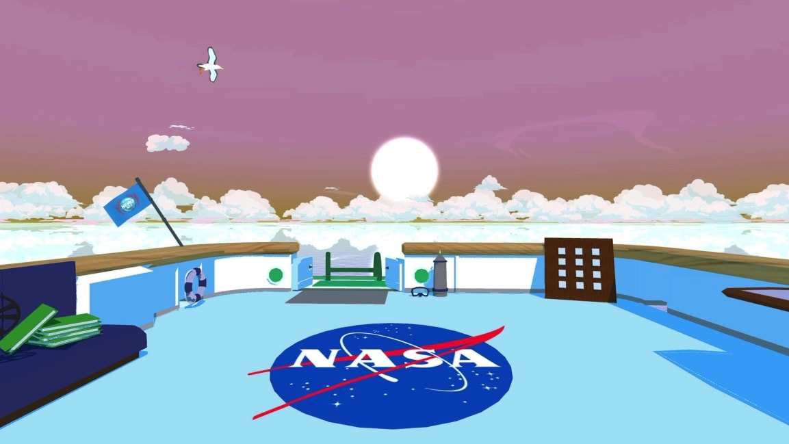
Bored at home? This game lets you help NASA map the world’s coral reefs
If you’re looking for something more interesting to do in quarantine than restream a show on Netflix, consider helping scientists map the world’s coral reefs. In a new video game from NASA called NeMO-Net, you can virtually dive in waters around the world, classifying corals in 3D images from satellites to help train a NASA supercomputer to map the rest of the world’s coral at a scale that’s never been done before.
While the planet’s land is mapped in detail, the same isn’t true for the ocean. “It was a big surprise to me when I learned, in 2012, that we’d mapped roughly 5% of the ocean floor,” says Ved Chirayath, principal investigator for the project at NASA’s Ames Research Center in California and an astrophysicist who shifted course to look at the challenge of mapping the ocean. “Fast forward to 2020, we’re at about 6%. We’ve mapped all of Mars and the moon, 100% of both of those bodies, at a spatial resolution of 30 meters or better. For Earth, we see land area mapped daily with NASA satellites and commercial satellites. But there’s just no equivalent for the oceans, which is the dominant ecosystem on the planet.”
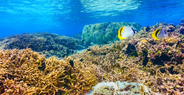
Coral reefs, which are home to roughly as many species as tropical rainforests—and play a role in everything from providing food for millions of people to protecting coasts from hurricanes—are also poorly mapped. In part, that’s because it’s difficult to see corals clearly underwater. “If you take a picture of a coral reef from a satellite from different angles, it appears to move underwater because of the refraction that’s caused by the air-water interface,” Chirayath says. Even state-of-the-art projects are only able to recognize whether an object under the water is coral only half of the time.
Chirayath developed new technology that can look at coral and other life under the water in much more detail, correcting the optical distortion of the water. By flying over shallow water with a camera mounted on a drone or an airplane, it’s possible to get a far more accurate picture than before (eventually, the same tech will also be used on satellites). But it also generates a huge amount of data. “When we map one island, let’s say, American Samoa, it generates hundreds or thousands of terabytes of data,” he says. “There isn’t really any tool that coral scientists can use to easily process that data.” If scientists try to sort through it manually, he says, it would take almost as much time as surveying each site on physical dives.
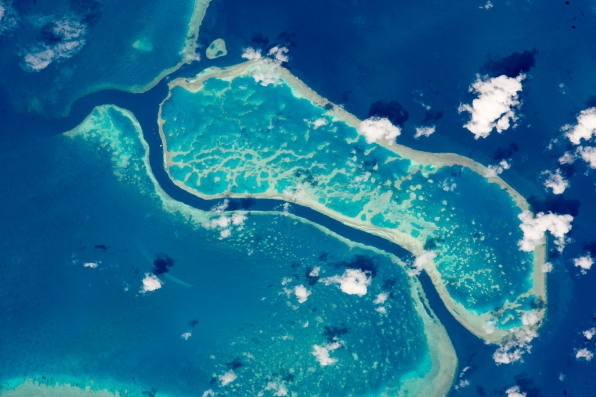
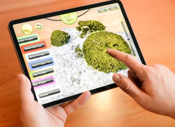
Instead, the team plans to use a NASA supercomputer to automatically sort through the data to map reefs. Anyone who plays the new video game—learning how to identify coral and then marking it with a brush in the game—sends data back to NASA’s servers so that the system can compare it with lower-resolution satellite data and learn how to identify coral itself. So far, even children are classifying coral “with insane precision,” Chirayath says.
Players earn badges as they keep going, and as they advance to new levels, new fish appear in the virtual game to replicate what the reef looks like when it’s healthy. Videos along the way also offer motivation. For adults, “it’s just a really relaxing coloring game,” he says. “There’s nice ocean music. There’s an augmented reality feature where you can place the coral in your living room and kind of take a virtual dive around the reef and color it as you do that.”
The resulting map will cover 65,000 square kilometers of coral in detail, helping provide a crucial tool at a time when coral reefs are in crisis. While others are also working on maps, the lower resolution in other projects makes it difficult to know what’s changing—and by the time it becomes obvious that coral is dying, it’s likely to be too late to do anything about it. With more detail, it’s possible to intervene; a country might see warning signs and then decide to temporarily ban fishing in an area to help a reef recover. “You really are informed and making decisions quickly about what you could do to change the outcome,” says Chirayath. The game is available for free download for Mac, iPhone, and iPad.
(25)

