Florida Gov: Use Google Maps for real-time road closure updates
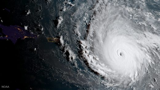
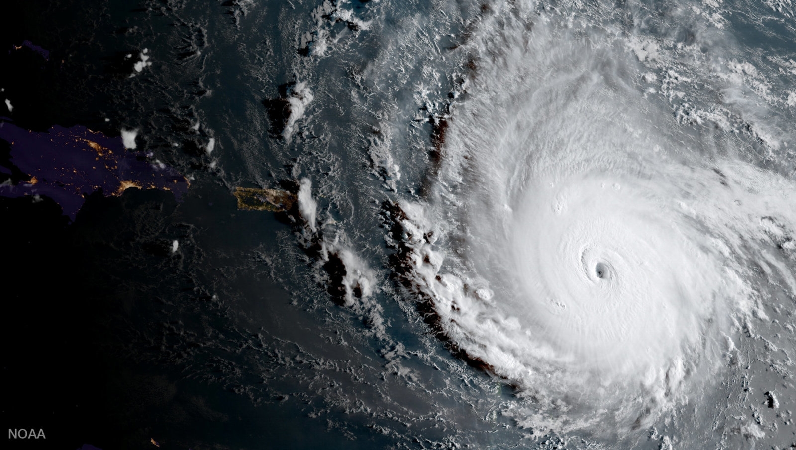
Google and Florida have teamed up to make Maps a much more useful resource for the state’s evacuation plans in preparation for Hurricane Irma’s arrival. Florida Governor Rick Scott has advised residents to use various apps and websites to help them navigate their way if they have to leave their homes due to the category 5 storm expected to hit the state this weekend. One of those apps is Google Maps, and the big G promises to mark closed roads in it as soon as its emergency response team notifies the company.
By having an instantly and constantly updated resource they can check, people won’t have to waste precious time waiting for Waze users to update the crowdsourced navigation app where Google gets its real-time traffic info. They won’t have to drive down roads they can’t get through either, only to be told that they have to turn back. That makes Maps a valuable tool, since time is of the essence when evacuating from the path of a storm, as proven by how fast it took for waters to rise in Texas when Hurricane Harvey hit.
“Our thoughts are with those affected by Hurricane Irma,” Google told The Verge in a statement. “To provide access to accurate and useful transportation information, we use algorithmic and manual methods to account for everyday and emergency road closures. We’re working directly with Florida officials to help provide up-to-date information to those affected by the storm. These road closures will also appear on our Irma Crisis Map, embedded as part of our SOS Alert on Search.”
(26)


