Hurricane Ida grew so strong because the water in the Gulf of Mexico is exceptionally hot
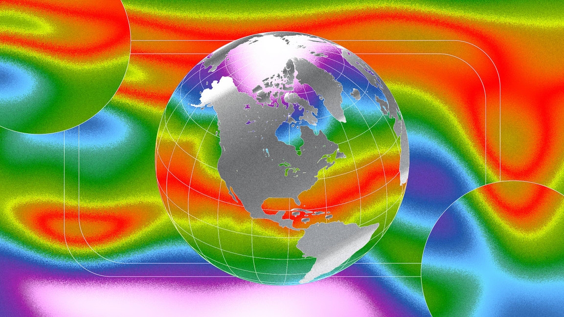
How did it get so powerful so quickly? Heat in the ocean helped fuel the storm. As the planet has gotten warmer, the ocean has absorbed more than 90% of that heat. The Gulf of Mexico, which is already normally hot in August, is as much as 8 degrees Fahrenheit (or between 1 and 4 degrees Celsius) hotter than usual in some areas. As Ida spun over the extra-hot, 85- to 90-degree water, that energy helped it accelerate.
Something similar happened in 2018, when Hurricane Michael passed over a similar blob of hot water in the Gulf. Within 36 hours after the storm was spotted, it became the first Category 5 hurricane to hit the part of the Florida coastline where it made landfall. Hotter air also holds more moisture, so hurricanes are also dumping more rain—like Hurricane Harvey, which poured a record 60.58 inches on a community northeast of Houston.
As global warming increases, so will the intensity of hurricanes. Category 4 and 5 hurricanes will become more frequent, with higher peak wind speeds. And because the storms are getting more intense more quickly, they may be harder to prepare for. Storms with winds that speed up around 70 miles an hour in less than a day, an event that used to happen around once a century, could happen as often as every five years by the end of this century.
(22)


