
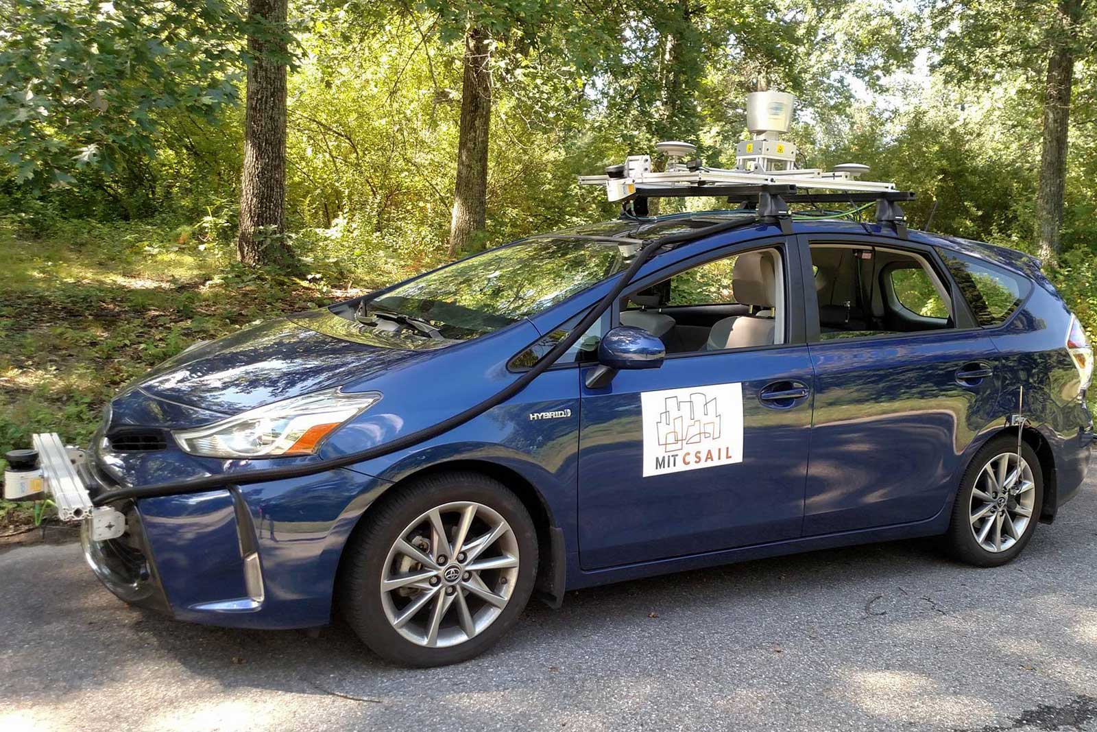
There’s a good reason why companies often test self-driving cars in big cities: they’d be lost most anywhere else. They typically need well-labeled 3D maps to identify curbs, lanes and signs, which isn’t much use on a backwoods road where those features might not even exist. MIT CSAIL may have a solution, though. Its researchers (with some help from Toyota) have developed a new framework, MapLite, that can find its way without any 3D maps.
The system gets a basic sense of the vehicle’s location using GPS, and uses that for both the final destination and a “local” objective within view of the car. The machine then uses its onboard sensors to generate a path to those local points, using LiDAR to estimate the edges of the road (which tends to be much flatter than the surrounding landscape). Generic, parameter-based models give the car a sense of what to do at intersections or specific roads.
MapLite still isn’t ready to handle everything. It doesn’t know how to cope with mountain roads and other sharp changes in elevation, for instance. However, the ultimate goal is clear: CSAIL wants autonomous cars that can safely navigate any road without hand-holding. While 3D maps may still be useful for dealing with the complexity of cities, this could be vital for rural trips, snowy landscapes and other situations where the car needs to improvise.
(35)
