If you stand next to an experimental Google StreetView car in Oakland, you’ll hear whirring. On top of the vehicle–below the usual cameras taking photos of the street–a mechanical system with pumps is pulling in the outdoor air, feeding it through a set of tubes to air-pollution monitoring equipment in the trunk, and then pumping the exhaust back outside again.
The car is one of two from Google Earth Outreach that Aclima, a San Francisco-based company, equipped with a mobile air-quality platform. Over the last year–as each car drove six to eight hours a day around Oakland, repeatedly sampling every street in one section of the city–researchers collected the largest-ever set of urban air pollution data, and studied how the system could be used to better understand city air quality. The project was convened by the nonprofit EDF.
Today, most cities in the U.S. have only a small number of stations that monitor air quality to comply with federal laws like the Clean Air Act. For every million people in an urban area, there are typically only one to four monitoring sites. “That just doesn’t tell you what’s happening within a neighborhood,” says Joshua Apte, an assistant engineering professor at the University of Texas at Austin and lead author of a new paper about the research. “It can’t tell you what’s happening on individual city blocks.”
The system on the StreetView cars–which could later be added to buses, Ubers, and Lyfts, and other vehicles that cover large distances in a city every day–can show pollution in fine detail. The study found variations in the levels of black carbon, nitrogen oxide, and nitrogen dioxide (all of which worsen air quality and are harmful to people) not only within neighborhoods but on given blocks. “Maybe the most striking thing is how much air pollution can vary even within a city block,” says Apte. “One end of the block could be five, eight times more polluted than the other end of the block.”
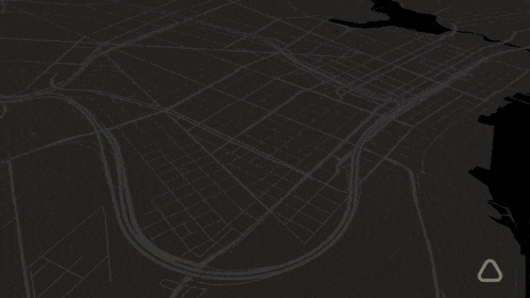
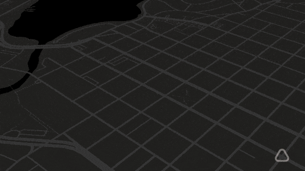
Looking at the data from Oakland, the researchers saw that streets with city bus routes were more polluted than those without; neighborhoods closer to Interstate 880, one highway that cuts through the city, were more polluted than those close to Interstate 580, one of the few highways in the country that bans trucks (perhaps not surprisingly, people living near 880 are poorer). Interactive maps from EDF point out why some spots on the map are more polluted; in one neighborhood with high levels of black carbon, for example, people live next to both a car salvage company and a car manufacturer. In another neighborhood, heavy truck traffic to a metal recycling plant makes pollution worse.
Using that detailed data, someone might decide whether they want to buy a particular house or whether their children should walk to school along a particular route. With evidence of air pollution levels in their own neighborhoods, citizens could push for change. Cities could use it to identify hotspots that need improvement, or when implementing new policy–like a fleet of electric buses–to concretely show the effect of the change. “When pollution’s reduced, we can show you,” says Melissa Lunden, senior atmospheric scientist at Aclima and one of the co-authors of the study. “We can give you a number. That has not been possible before.” Air quality researchers, who now often use models to estimate pollution in specific areas, could also use the new local data to make those models more accurate.
In the study, each car was driven intensively, but the researchers found that it would be possible to get a clear picture of air pollution with relatively few trips.
“We wanted to know how much you need to drive before you’re not learning anything new,” says Apte. “It turns out you don’t need to drive that much before you start to see really consistent patterns in air pollution. Maybe you need to drive down a street 20 times in a year, if you sample randomly. That’s a really small number. Why that’s so important is that you could take this method to other places much more easily than how we started here.”
The cars in the experiment also used relatively large laboratory equipment, with separate instruments to measure the pollution. But next to that stack of boxes was a prototype of Aclima’s own, smaller platform. “This is the box that we want to really scale with,” says Lunden. “This is the start of the Fitbit for the planet.” The latest version, not installed in the car, is roughly the size of two shoe boxes, and could easily fit even in small cars. All of the data is fed into Aclima’s software platform for analysis, and turned into visualizations. While the company says that the stationary air-quality monitors in use in cities now can cost hundreds of thousands of dollars a year to maintain, the mobile platform can be between 100 and 1,000 times less expensive, while far more detailed.
The company is currently working on making the units to quickly scale up and begin installing them in other types of vehicles, in other cities. “We’re in a number of discussions now about where we can have the most impact,” says Lunden.
The maps can help cities and residents figure out causes and solutions to urban air quality problems.
If you stand next to an experimental Google StreetView car in Oakland, you’ll hear whirring. On top of the vehicle–below the usual cameras taking photos of the street–a mechanical system with pumps is pulling in the outdoor air, feeding it through a set of tubes to air-pollution monitoring equipment in the trunk, and then pumping the exhaust back outside again.
Fast Company , Read Full Story
(69)
