COVID-19 vaccine distribution: 5 maps that show how we can get them to everyone
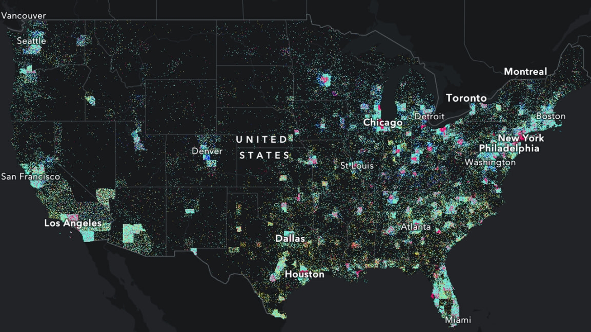
To help policymakers and public health officials imagine how they might meet those challenges, the health and human services team at Esri came up with five interactive maps—outlining five critical step in the distribution process. The maps draw on information from the CDC’s “COVID-19 Vaccination Program Interim Playbook,” and each one presents an example application to show how it could be implemented in the real world.
As Esri’s team describes it, the sample map applications could be useful tools to help jurisdictions determine their rollout priorities, allocate resources, choose sites for distribution, and communicate vital information to the public. The steps and corresponding maps are as follows:
The maps make use of geographic information systems, or GIS, a real-time mapping technology that Esri says will be crucial for vaccine distribution efforts. In a blog post in September, Este Geraghty, Esri’s chief medical officer, outlined the five steps for successful distribution more thoroughly, noting that “GIS will be foundational to help plan, implement, and manage efficient, equitable vaccine distribution.”
You can check out the full set of maps and descriptions here.
(6)


