Hey, Amazon! This cool map of HQ2 finalists should tell you all you need to know
Amazon is presumably close to making a decision on where to put its coveted second headquarters, and while there’s evidence to suggest that the e-commerce behemoth is narrowing in on Washington, D.C., the race isn’t over yet.
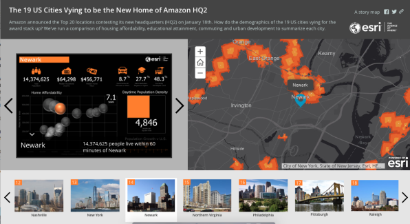
Meanwhile, we figured Jeff Bezos and company could use some of the details in this interactive map compiled by Esri, a spatial analytics firm. You’re welcome, Jeff!
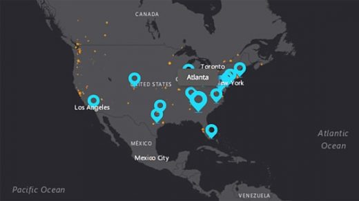
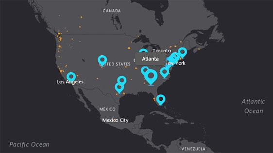
Esri mapped out all of the 19 U.S. metro areas that Amazon named on its short list. Then, it packed in some key demographic data for each area, such as population, median home values, education levels, and average commute time. (Toronto, a 20th finalist, was left off the list because apples-to-apples data wasn’t available for the Canadian city.) It also shows the percentage of currently developed land in each area, a data point Amazon might find helpful since it claims the headquarters will generate 50,000 jobs.
The results are pretty interesting. For instance, New York City has some notable disadvantages, and not just because it has the longest commute time on the list. It also has a lower median household income than other prospective locations, including Philadelphia, Dallas, Montgomery County, and Washington, D.C. In fact, New York may not even offer the largest available talent pool, despite having 13.2 million people within 60 minutes of the city. Newark, which is also on the list, has 14.4 million people within an hour’s commute.
By the way, my pointing out New York’s disadvantages has nothing to do with the fact that I live in New York and already consider it very crowded. But Jeff, if you’re reading this, I hear Montgomery County is lovely.
Do check out the full map here. It’s a lot of fun.

(9)


